Travel Guide of Australian Alps Walking Track in Australia by Influencers and Travelers
The Australian Alps Walking Track is a long-distance walking trail through the alpine areas of Victoria, New South Wales and ACT. It is 655 km long, starting at Walhalla, Victoria and running through to Tharwa, ACT near Canberra.
Download the Travel Map of Australia on Google Maps here
Pictures and Stories of Australian Alps Walking Track from Influencers
Picture from Kate Trifo who have traveled to Australian Alps Walking Track
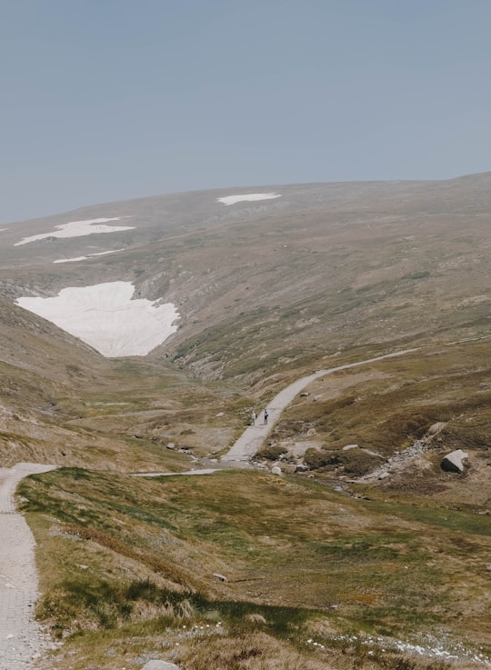
- smoggy and dried out hiking track in mountains during Australian bushfires ...click to read more
- Experienced by @Kate Trifo | ©Unsplash
Plan your trip in Australian Alps Walking Track with AI 🤖 🗺
Roadtrips.ai is a AI powered trip planner that you can use to generate a customized trip itinerary for any destination in Australia in just one clickJust write your activities preferences, budget and number of days travelling and our artificial intelligence will do the rest for you
👉 Use the AI Trip Planner
Book your Travel Experience at Australian Alps Walking Track
Discover the best tours and activities around Australian Alps Walking Track, Australia and book your travel experience today with our booking partners
Map of Australian Alps Walking Track
View Australian Alps Walking Track on a map with the closest popular places nearby
Download On Google Maps 🗺️📲
More Travel spots to explore around Australian Alps Walking Track
Click on the pictures to learn more about the places and to get directions
Discover more travel spots to explore around Australian Alps Walking Track
❄️ Tundra spotsWhere to Stay near Australian Alps Walking Track
Discover the best hotels around Australian Alps Walking Track, Australia and book your stay today with our booking partner booking.com
Popular destinations near Australian Alps Walking Track
Disover the best Instagram Spots around Australian Alps Walking Track here